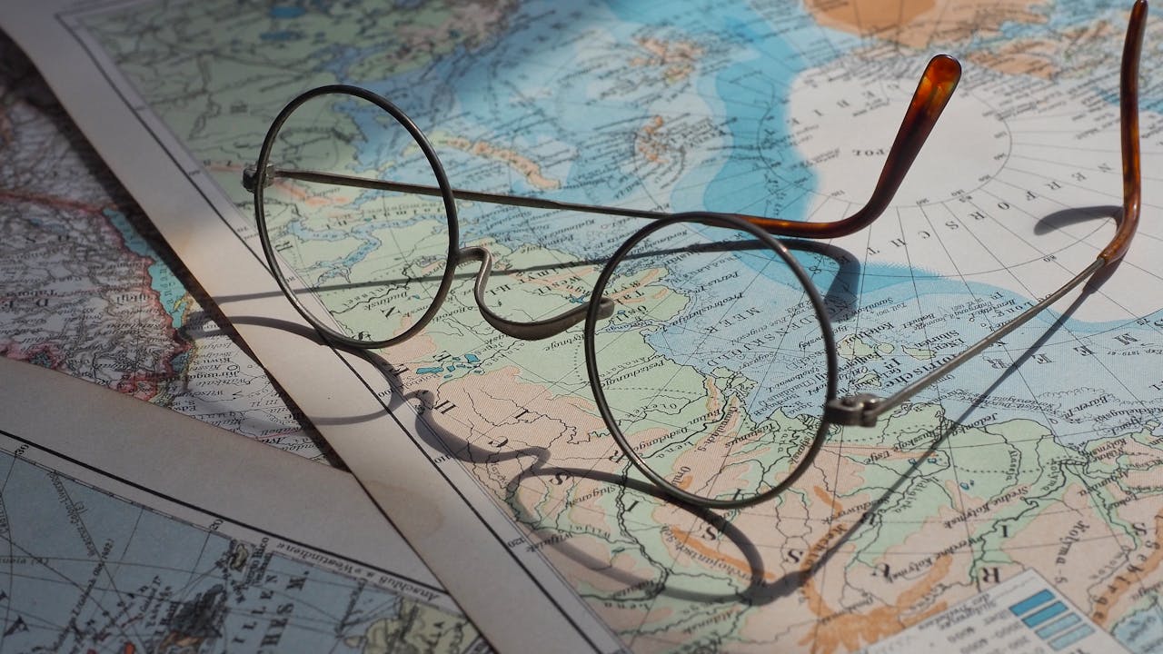
Expeditionary mapping represents a dynamic and multifaceted approach to understanding and documenting the diverse landscapes and environments of our planet. From remote wilderness areas to uncharted territories, expeditionary mapping endeavors to reveal the secrets of Earth’s geography, geology, and ecology. In this exploration, we delve into the history, significance, and methods of expeditionary mapping, uncovering the mysteries of the world through exploration and discovery.
Pioneering Expeditions: Early Mapping Endeavors
Expeditionary mapping has its roots in ancient civilizations, where early explorers and cartographers ventured into unknown territories to document the land and its features. Ancient maps and records from civilizations such as the Greeks, Romans, and Chinese provide glimpses into the early efforts to understand and map the Earth’s surface. These pioneering endeavors laid the groundwork for more systematic and scientific approaches to expeditionary mapping in the centuries that followed.
The Age of Exploration: Mapping the New World
The Age of Exploration, spanning the 15th to 17th centuries, marked a period of intense exploration and mapping as European powers ventured into unknown territories around the globe. Explorers such as Christopher Columbus, Ferdinand Magellan, and James Cook led expeditions that circumnavigated the globe, mapping coastlines, mountains, and rivers and creating detailed charts and atlases that revolutionized our understanding of the world. These mapping expeditions not only expanded the boundaries of human knowledge but also laid the foundation for the modern science of geography and cartography.
Scientific Expeditions: Mapping Earth’s Diversity
In the centuries that followed, scientific expeditions played a crucial role in advancing our understanding of the Earth’s geography, geology, and ecology. Naturalists and geographers such as Alexander von Humboldt, Charles Darwin, and Alfred Russel Wallace led expeditions to remote regions of the world, documenting the plants, animals, and landscapes they encountered and creating detailed maps and charts that provided valuable insights into the diversity of life on Earth. These scientific expeditions helped to identify and classify Earth’s major biomes and ecosystems and provided the foundation for modern conservation and environmental management efforts.
Mapping the Unknown: Exploring Terra Incognita
One of the most exciting aspects of expeditionary mapping is the exploration of uncharted territories, often referred to as Terra Incognita. Throughout history, explorers and cartographers have ventured into unknown lands, mapping remote regions and documenting their discoveries for the benefit of future generations. From the European exploration of the New World to the mapping of Antarctica and the Arctic, these expeditions have expanded the boundaries of human knowledge and provided valuable insights into the diversity of Earth’s landscapes and ecosystems.
Modern Mapping Techniques: From Satellite Imaging to GIS
In the modern era, expeditionary mapping has benefited from advancements in technology and methodology. Satellites orbiting the Earth provide high-resolution imagery of the planet’s surface, allowing cartographers to create detailed maps and elevation models that capture the complexity and diversity of Earth’s terrain. Geographic Information Systems (GIS) technology allows researchers to analyze and visualize spatial data, providing valuable insights into the relationships between landforms, ecosystems, and human activities. These modern mapping techniques continue to revolutionize the field of cartography, providing new opportunities for exploration and discovery in the 21st century.
Challenges and Opportunities: Navigating the Terrain Ahead
Despite the advancements in technology, expeditionary mapping faces numerous challenges in the 21st century, including political instability, environmental degradation, and the ever-changing nature of the Earth’s surface. However, with these challenges come opportunities for innovation, collaboration, and exploration. From the mapping of underwater ecosystems to the creation of detailed 3D models of the Earth’s surface, the future of expeditionary mapping holds the promise of new discoveries and insights that will continue to shape our understanding of the world around us.
In the grand tapestry of human history, expeditionary mapping stands as a testament to our insatiable curiosity, ingenuity, and spirit of adventure. From the earliest explorers charting unknown territories to the modern-day cartographers using state-of-the-art technology, the story of expeditionary mapping is one of exploration, discovery, and innovation. As we chart a course for the future, let us draw inspiration from the explorers who came before us, and let us continue to navigate the intricate landscapes and terrains of our planet, one map at a time.

