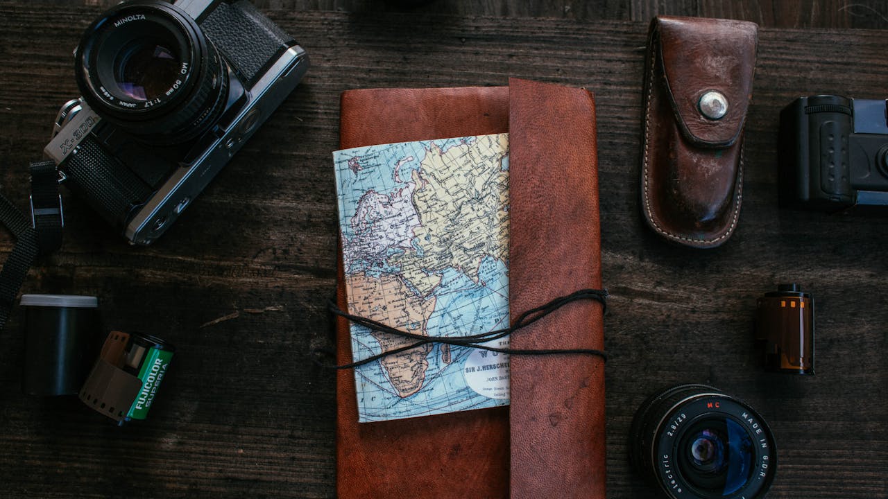
Mapping expeditions have played a crucial role in humanity’s quest to understand and navigate the world around us. From ancient explorers charting uncharted territories to modern surveyors using cutting-edge technology, these expeditions have shaped our understanding of geography, culture, and history. In this exploration, we delve into the history, significance, and impact of mapping expeditions, tracing their evolution from ancient times to the present day.
Ancient Cartography: Pioneering Mapping Techniques
The roots of mapping expeditions can be traced back to ancient civilizations such as the Babylonians, Egyptians, and Greeks, who developed rudimentary maps to navigate their surroundings and record their knowledge of the world. These early maps, often based on observation and oral tradition, laid the foundation for more sophisticated mapping techniques in the centuries that followed. The Greeks, in particular, made significant contributions to cartography, with scholars like Ptolemy creating detailed maps of the known world based on mathematical calculations and astronomical observations.
The Age of Exploration: Charting New Frontiers
The Age of Exploration, spanning the 15th to the 17th centuries, marked a golden age of mapping expeditions as European powers embarked on ambitious voyages of discovery to chart new trade routes, establish colonies, and expand their empires. Explorers such as Christopher Columbus, Vasco da Gama, and Ferdinand Magellan led expeditions that circumnavigated the globe, mapping coastlines, rivers, and mountain ranges and creating detailed charts and atlases that revolutionized our understanding of the world. These mapping expeditions not only expanded the boundaries of human knowledge but also laid the groundwork for the modern world order and the globalization of trade and commerce.
Scientific Exploration: Mapping the Earth’s Surface
In the centuries that followed, mapping expeditions continued to play a crucial role in advancing scientific knowledge and understanding of the Earth’s surface. During the 18th and 19th centuries, scientific expeditions such as those led by James Cook and Charles Darwin undertook comprehensive surveys of the world’s continents, oceans, and natural wonders, creating detailed maps and charts that provided valuable insights into the Earth’s geology, biology, and climate. These expeditions laid the groundwork for modern geological, botanical, and ecological research and contributed to the development of new theories and paradigms in the natural sciences.
Mapping the Unknown: Exploring Terra Incognita
One of the most challenging and rewarding aspects of mapping expeditions is the exploration of uncharted territories, often referred to as Terra Incognita. Throughout history, explorers and cartographers have ventured into unknown lands, mapping remote regions, and documenting their discoveries for the benefit of future generations. From the European exploration of the New World to the mapping of Antarctica and the Arctic, these expeditions have expanded the boundaries of human knowledge and provided valuable insights into the diversity of the Earth’s landscapes and ecosystems.
Modern Mapping Techniques: From Satellites to Drones
In the modern era, mapping expeditions have benefited from advancements in technology, including satellite imagery, aerial photography, and unmanned aerial vehicles (UAVs). Satellites orbiting the Earth provide high-resolution imagery of the planet’s surface, allowing cartographers to create detailed maps and monitor changes in the environment over time. Aerial photography and UAVs offer a more flexible and cost-effective means of mapping remote and inaccessible areas, capturing data with precision and accuracy that was once unimaginable. These modern mapping techniques continue to revolutionize the field of cartography, providing new opportunities for exploration and discovery in the 21st century.
Challenges and Opportunities: Mapping the Future
Despite the advancements in technology, mapping expeditions face numerous challenges in the 21st century, including political instability, environmental degradation, and the ever-changing nature of the Earth’s surface. However, with these challenges come opportunities for innovation, collaboration, and exploration. From the mapping of underwater ecosystems to the creation of detailed 3D models of the Earth’s surface, the future of mapping expeditions holds the promise of new discoveries and insights that will continue to shape our understanding of the world around us.
In the grand tapestry of human history, mapping expeditions stand as a testament to our insatiable curiosity, ingenuity, and spirit of adventure. From the earliest explorers charting unknown territories to the modern-day surveyors using state-of-the-art technology, the story of mapping expeditions is one of exploration, discovery, and innovation. As we chart a course for the future, let us draw inspiration from the explorers who came before us, and let us continue to navigate the unknown, one map at a time.

